
 Photo: Báo Tổ Quốc
Places / Yên Hợp – Phú Nhiêu
Hung Trâu valley
Also known as Hung Tru
Every autumn the road to the hamlet vanishes under water and the valley turns into a lake.
Transcript
Hung means valley in the local language.
Hung Tru lies between limestone walls, on the only road linking the Rục hamlets with the outside world.
In the dry season it is an ordinary valley. After heavy rain, water covers about two kilometres of road, up to five metres deep.
The road disappears. Boats replace motorbikes, and the only way in is to paddle.
There are few places on earth where you arrive in a village like this.
“Hung” means valley in the local language. Hung Trâu lies between limestone walls on the only road linking the Rục hamlets with the outside world.
In the dry season it is an ordinary valley. When heavy rain comes the water cannot drain through the rock fast enough and rises over about 2 km of road, up to 5 m deep. The road disappears and the valley becomes a still lake. Boats replace motorbikes, and the only way in for a visitor is to paddle.
Kayaking across Hung Trâu, your paddle passes over the sunken road with cliffs on both sides and Yên Hợp ahead. There are few places on earth where you arrive in a village like this.
Hung Trâu from above
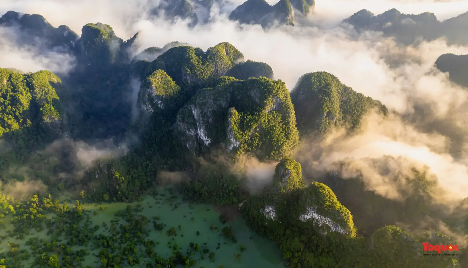
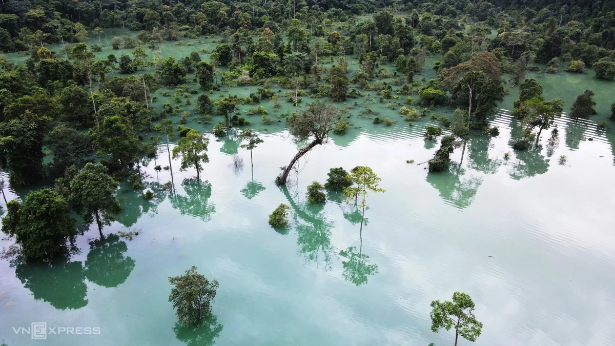

- 9–10
- months it usually floods
- ~2 km
- of road under water
- 5 m
- deepest point
Things to do
- Kayak or paddleboard across the flooded valley
- Photograph cliffs reflected in the water
- Arrive at Yên Hợp by boat
- In the dry season, walk or cycle through
Best season: Floodwater at Hung Trâu (September – October) →
Frequently asked
Hung Trâu or Hung Tru?
The same place. Hung Trâu valley is also called and spelled Hung Tru. It lies in Kim Phú commune, Quảng Trị province (formerly Minh Hóa district, Quảng Bình province), on the road to Yên Hợp village.